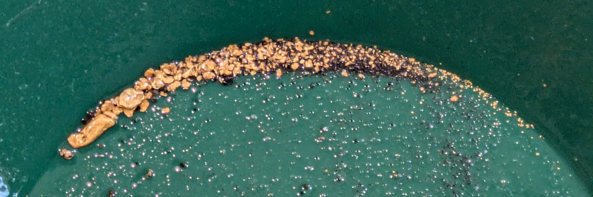
The Kettle River Recreational Panning Reserve is located roughly halfway between Veron and Fauquier along Highway 6 in the Monashee Mountains of British Columbia. The closest pseudo-town is likely Cherryville, home of the Gold Panner Campground which is known to have gold on their claim.
The Kettle River does have a gold rush history, albeit some 130 km south of the panning reserve in Rock Creek. The Kettle River is all claimed up both northeast and southwest of the panning reserve which suggests there is gold around. Unfortunately, there is no online evidence of gold being found in the panning reserve.
The Kettle River Recreational Panning Reserve is rectangle of wilderness roughly 1 km by 500 m in size. It is partially forested with clearcuts and utility right of ways having removed the trees over parts. It is otherwise easy to get to using Keefer Lake Road north from Highway 6. Most of the land appears to be crown land of some kind.
This panning reserve at Barnes Creek Recreational Panning Reserve are only 50 km apart. This makes them ideal dual targets for a road trip into BC’s interior.
TARGET WATERBODY
Kettle River
PROOF OF GOLD
None known at this time
RESTRICTIONS
None known at this time
Cherryville, British Columbia, Canada
GET DIRECTIONS